- On Call Service 24/7/365
|
Wear-It with Capt. Ryan
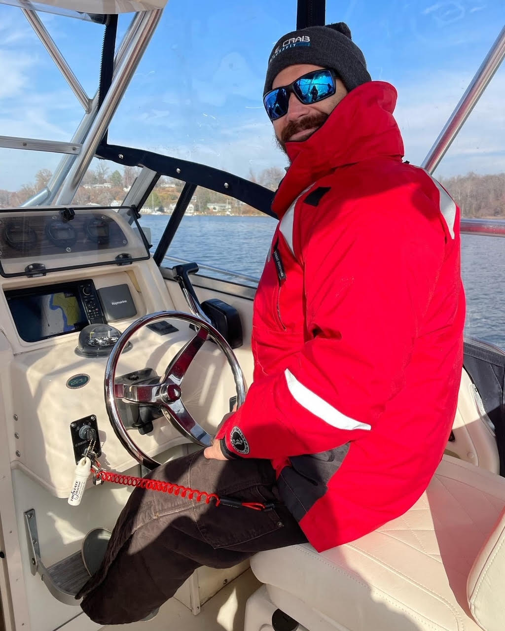
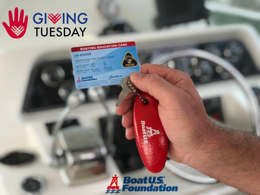
Float Coat (stay warm and safe!) & Engine Cut Off Switch (ECOS) are two boating essentials. You can see Capt. Ryan has the ECOS cord attached to him. If you are driving a vessel less than 26’ and on a plane or above displacement speed, the law requires you be attached to the ECOS. There is also wireless proximity ECOS devices that can be purchased instead of attaching to the cord. For more info, please visit: https://www.boatus.org/newsroom/new-boat-engine-cutoff-switch-law/ Giving to the non-profit BoatUS Foundation on Giving Tuesday (or ANY DAY!) makes boating safer for all and that is why we are supporting the Foundation. Follow this link to donate:
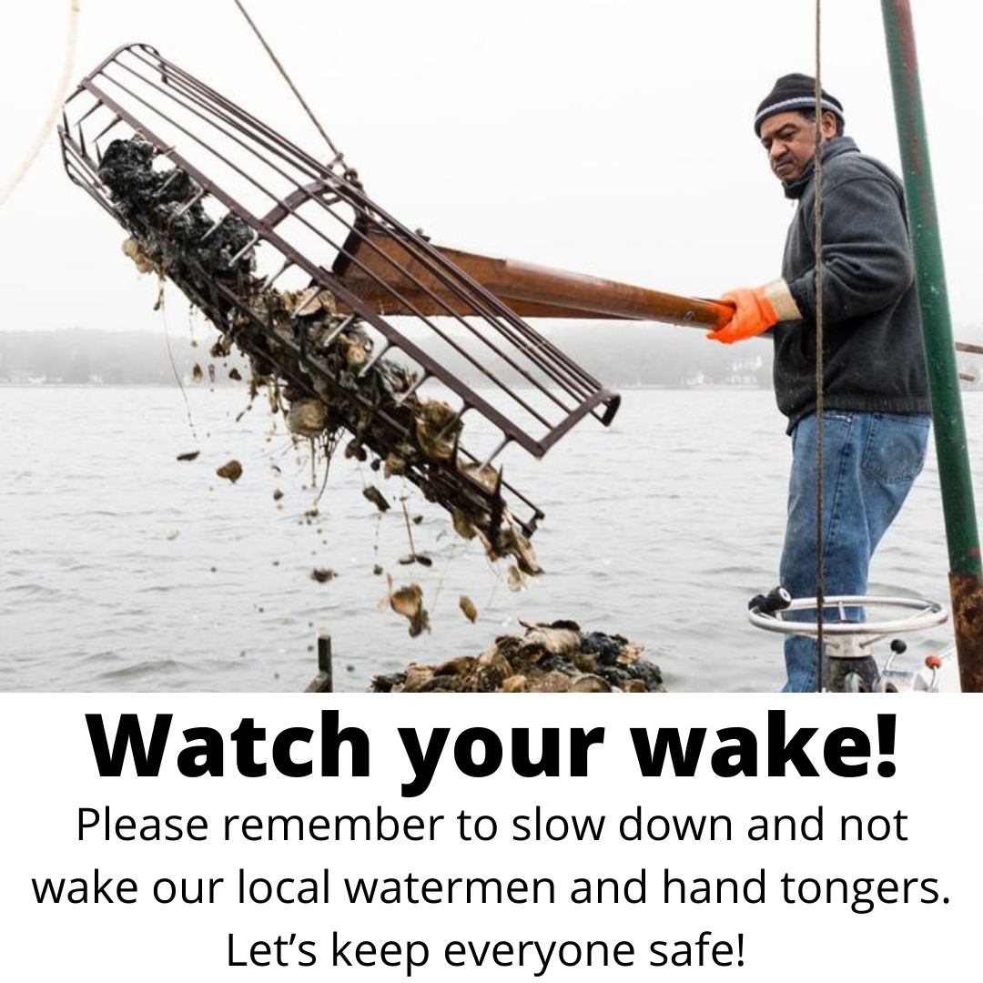
>>www.boatus.org/donate/<< Follow this link to find out exactly HOW they are keeping boaters safe: >> https://bit.ly/3HOuVJR << It's hand tonging season on the Chesapeake and extremely important to 𝗦𝗟𝗢𝗪 𝗗𝗢𝗪𝗡 and watch your wake as you pass these local watermen. A big wake can throw off their balance and cause them to fall overboard. As a general courtesy and safety precaution, please help keep everyone safe on the Bay by going slow near watermen and remember that you are responsible for your wake.
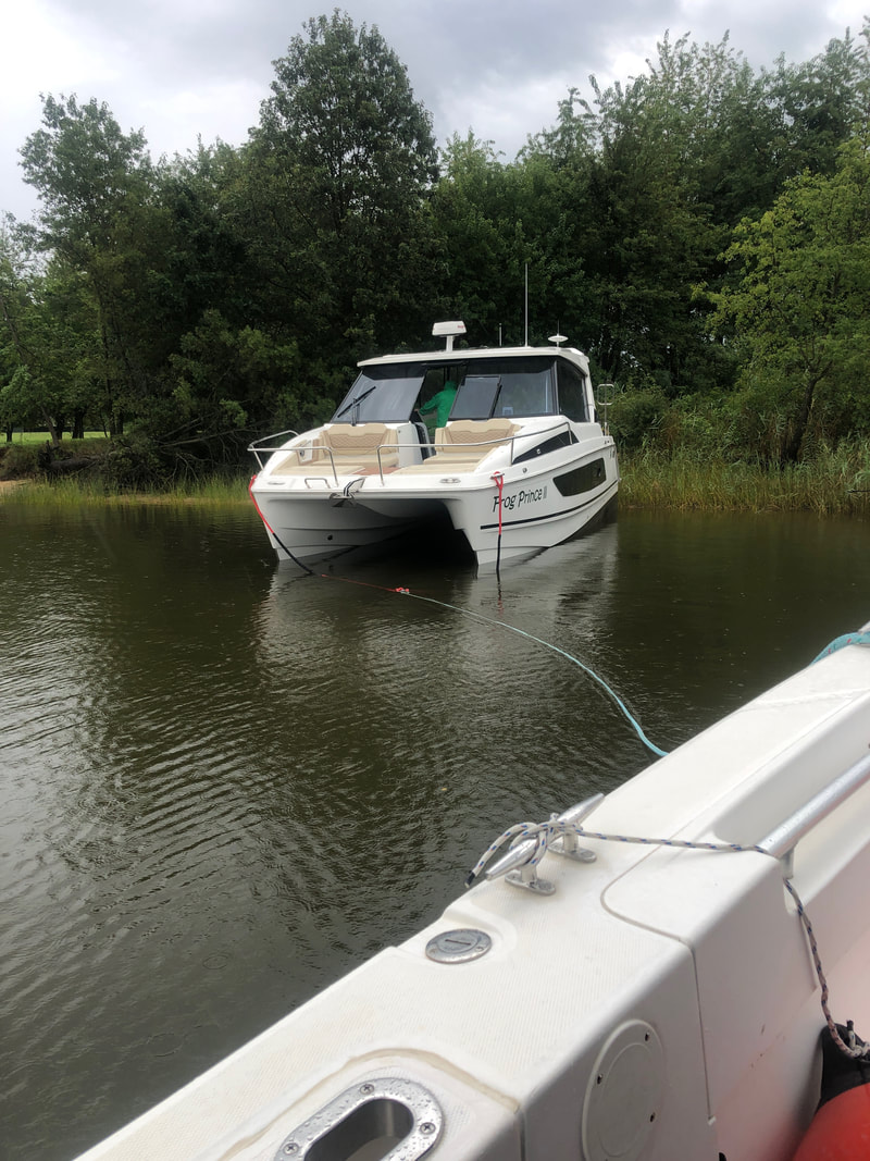
We ungrounded this 35’ power cat on the Corsica River. Not only did it cost this BoatUS member $0 for our service, they knew they were getting a professional, highly trained captain, licensed and insured company with all of the appropriate gear and skills to keep them and their boat safe. This is the difference between calling for assistance from a marine towing company vs waving down a Good Samaritan or calling a friend to come out and get you. Far too many times we have seen people try to tow or unground other boats without the appropriate skill set, boat or gear. We have seen the results of snapped lines, flying cleats, boat damage and injuries incurred when people do not use a professional marine towing company. Whether you’re a power boater, sailboater, novice or experienced, we urge you to get a BoatUS membership and utilize the help from your local TowBoatUS company. Having a membership will make you a more relaxed and safe boater. Here’s a secret: even though we own a towboat company… we also have an Unlimited Gold Membership! That’s because we occasionally travel and go boating in other places and we know as BoatUS members that we are covered anywhere we go.
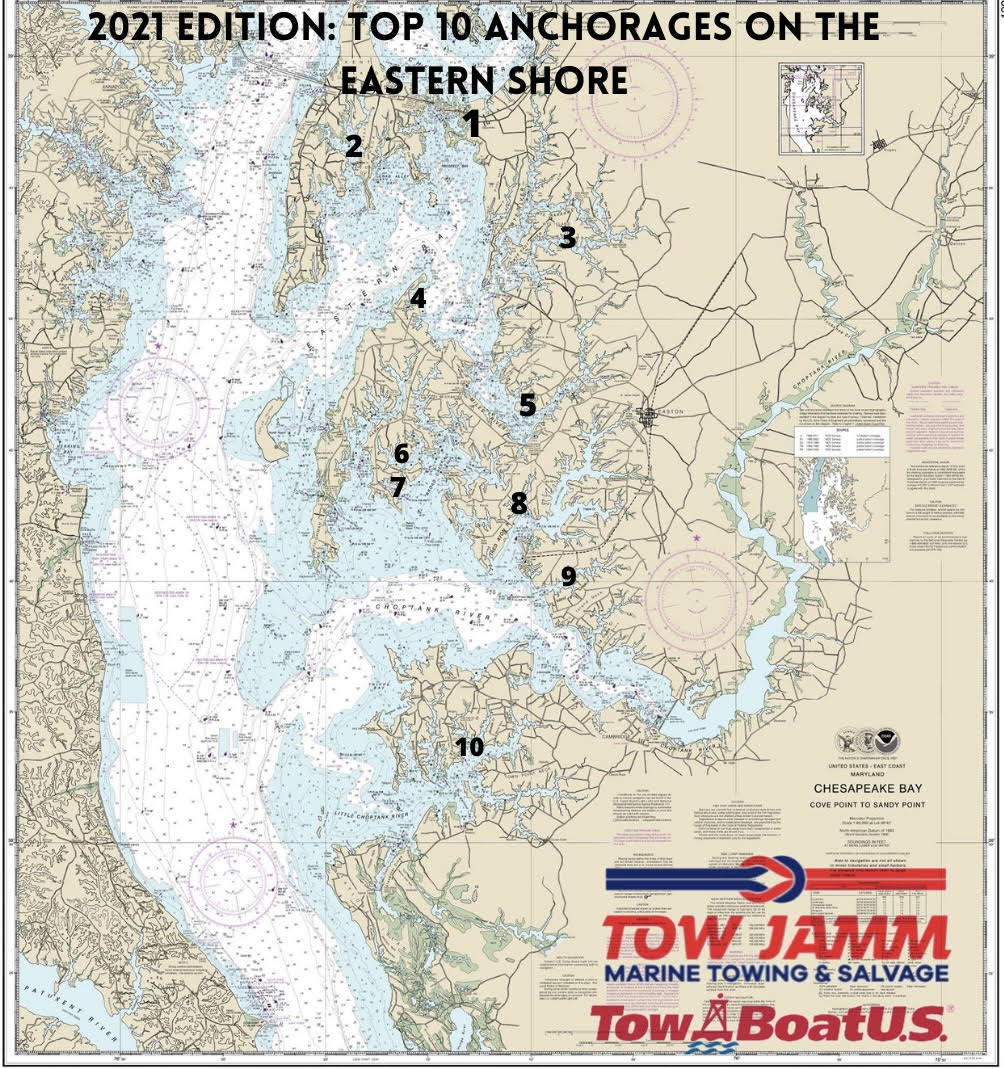
Call us today to sign up: (410) 745-3000. As always, we are offering a new member discount- $99 Unlimited Saltwater Towing & $129 Unlimited Gold Towing. 2021 Edition: Top 10 Anchorages on Maryland’s Eastern Shore
Our team compiled their favorite anchorages on the Eastern Shore. We are cruisers, explorers, waterman and captains. We hope you enjoy this local knowledge and have a great boating season! From North to South 1. Marshy Creek ( 38 57.547’ N 76 13.891W) - located just south of the Kent Narrows, Marshy Creek is an anchorage that offers good holding, a short dinghy ride to waterfront restaurants in the Kent Narrows (hello, fresh seafood!) and overlooks the Chesapeake Bay Environmental Center which has a dinghy dock and great nature trails to explore. Marshy Creek is protected from the north and somewhat protected from the south if you are able to tuck farther into the creek. 2. Thompson Creek (38 57.303’ N 76 18.458’W)- Just off of Cox Creek, Thompson Creek is an anchorage with good holding, a mud bottom and an easy dinghy ride to Mark Cascia Vineyards (recommended to call ahead for a reservation). There are homes on eastern side of the creek and a wooded shoreland on the western side. If this anchorage is full, there are also other great holding anchorages off of Cox Creek that are a short distance from Thompson Creek. 3. Granary Creek (38 53.127’ N 76 8.286’ W)- off the Wye river, good holding and protected from all wind conditions. Because it is so protected, if there is not a good breeze, it can get hot on a summer night. There is great hiking all around Wye Island’s National Resource Management Area. Wildlife abounds in this creek! Great for dinghy rides, kayaking, paddleboarding and exploring. 4. Tilghman Creek (38 50.655’ N 76 16.046’W) South side of Tilghman Pt., just off of the Miles River. The entrance is narrow so make sure to stay in the channel. Once inside, there is deep water in the anchorage. A very secluded anchorage with minimal boat traffic, Tilghman Creek offers great wildlife and a local wharf with workboats. The anchorage is protected from all wind directions and there are numerous places you can anchor within Tilghman Creek. 5. Hunting Creek (38 46.867’N 76 10.283’W) - off of the Miles River, Hunting Creek is a great alternative to when St. Michaels Harbor is full or you are just looking to get a little more secluded. Strait forward entrance with good holding and depth. Depending on where you anchor in Hunting Creek, there is protection from most wind directions. Explore beautiful, historic St. Michaels for the day and then head over to Hunting Creek for a relaxing evening with tons of nature. 6. Boby Owl Cove (38 44.867’N 76 16.200’W) - Just off of Leadenham Creek, which is on Broad Creek, Boby Owl Cove (also known to some as Baby Owl Cove) is a bowl shaped creek with great protection from all wind directions. It is just east of Balls Creek and its a great overnight anchorage for exploring and seeing abundant wildlife. Right around the corner from Balls Creek is Grace Creek where you might see Capt. Trevor aboard Tow Jamm I. In all of these areas, there are many watermen and crabbers. You might just get lucky and be able to buy some fresh crabs or fish right off the boat! 7. Balls Creek (38 43.610’ N 76 16.680’W)- Just off of Broad Creek, Balls Creek is situated between Neavitt and Bozman. With good holding, it is protected from most wind directions except for a heavy S,SW, W wind. A great anchorage to explore via dinghy, kayak or paddleboard. There is the Neavitt Wharf at the head of Balls Creek which berthes many local crabbing boats and has a boat ramp. If you have bikes aboard, this would be a great neighborhood to ride around and there is even a playground centrally located in Neavitt, right next to the Post Office. Did we mention that Neavitt is where Tow Jamm Marine’s base station is located? Give us a shout on VHF 16 to say hi! 8. Plaindealing Creek (38 42.979’ N 76 10.309’W)- off of the Tred Avon River and north of Oxford, Paindealing Creek has a well marked entrance and is an anchorage with great protection and good holding, surrounded by beautiful homes. Spend the day exploring the waterfront town of Oxford which is full of marinas, restaurants, a park, Oxford-Bellevue Car Ferry and more. 9. Island Creek- (38 40.616’N 76 6.900’W) Located at the mouth of the Tred Avon River and Choptank, Island Creek has a narrow entrance, carrying in 4-5’ draft vessels through the entrance. Once inside, the creek gets deeper and is very well protected and boosts gorgeous views and finger creeks off of the main Island creek. Hop in the dinghy to explore the wetlands and see the beautiful homes along the shore. 10. Cherry Island Cove (38 33.599’N 76 13.103’W)- Located inside of the Little Choptank, Cherry Island Cove can hold vessels with 6-8’ draft and is mostly protected except for heavy south winds. This is an off the beaten path type of anchorage, surrounded by natural beauty, duck blinds and remote beaches. Great for exploring and getting away from the hustle and bustle. Just north of Cherry Island Cove is Phillips Creek which is slightly narrower to enter but is also a quiet anchorage and once inside can hold boats drawing 6’. *We encourage all boaters, before anchoring, to check the weather, local tides and charts of the area. Be sure to familiarize yourself in advance of arrival. (We pulled the Lat & Long coordinates in this list from Navionics. Be sure to navigate with caution and check your local charts and GPS.) Set your anchor with the appropriate scope ratio and turn on your anchor light at night if you are overnighting. You are responsible for your vessel and the safety of you and your crew. We also encourage everyone to practice environmental stewardship when they are cruising and anchoring. Leave no trash behind, pick up trash that you see and do not anchor is seabeds that have native sea grasses that are a habitat for our fisheries. Do not pump out your holding tank in the Bay and respect all wildlife. Most importantly, be safe and have a great time! Please do not hesitate to reach out to us if you have any further questions. We can be reached on VHF 16: Tow Jamm Marine or (410) 734-3000.* We’re hooking one special Dad up with an Unlimited Saltwater Towing Membership. Valid on any boat you own, borrow or charter, anywhere in the USA! Free tows, soft ungroundings, battery jumps, fuel drops & more! To enter:
Follow our page Tag a Dad who loves boating *Winner will be announced on Father’s Day, June 20th* Visit our website for membership details, local resources & more: www.TowJammMarine.com Notice to Mariners
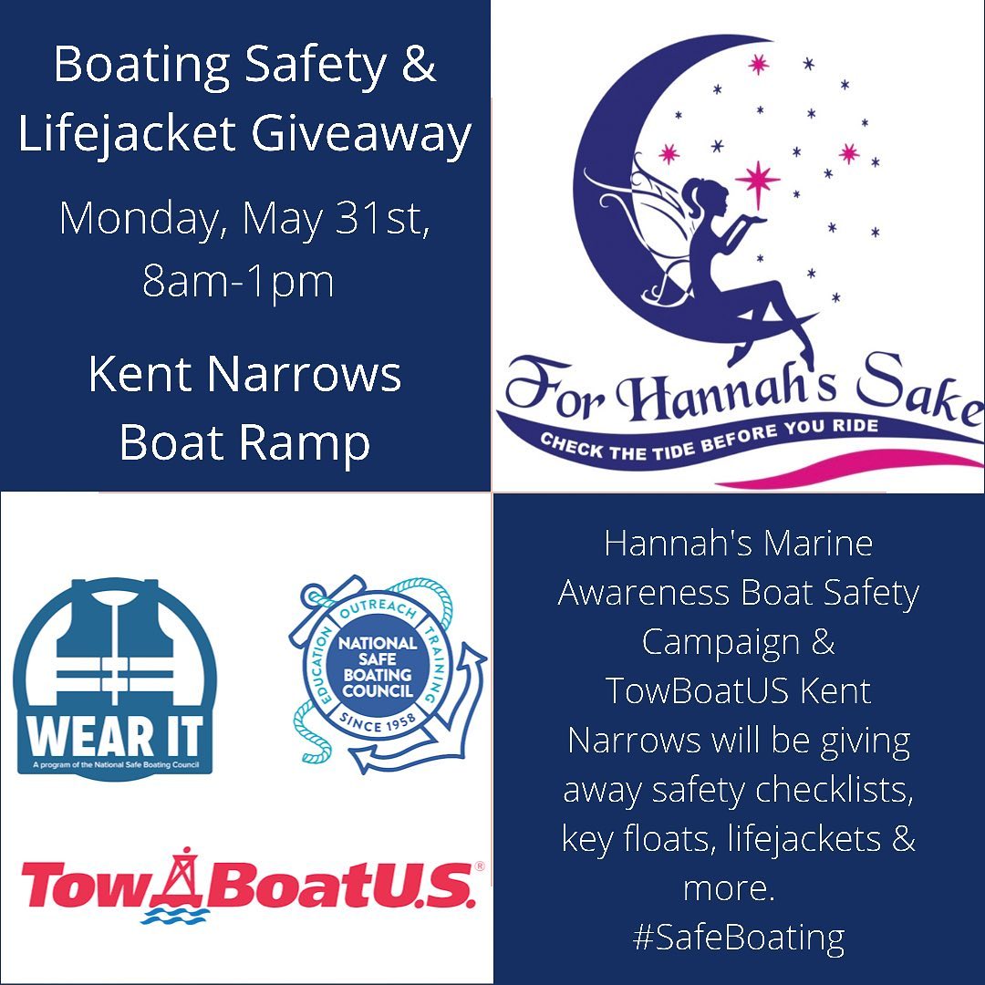
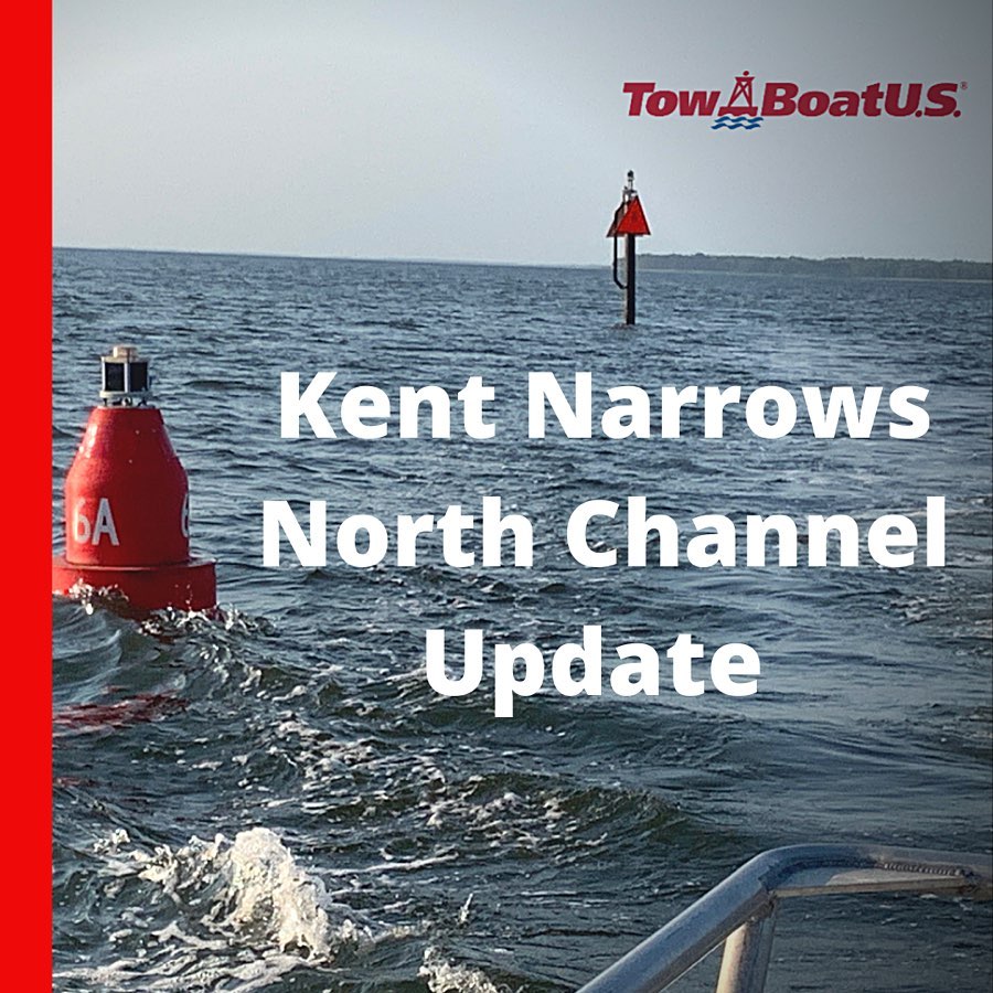
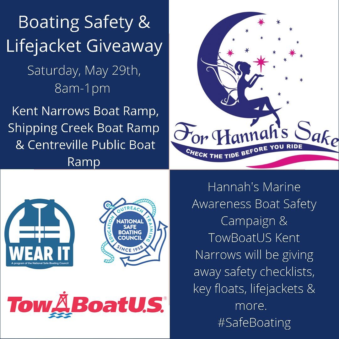
Update on the Kent Narrows north channel, from the USCG: SAFETY / MD - CHESTER RIVER - KENT ISLAND NARROWS NORTH APPROACH (CHART 12272) / ATON / CCGD5 BNM 304-21 / Tue, 25 May 2021 15:07:52 -0500 1. DUE TO SHOALING, THE FOLLOWING AIDS TO NAVIGATION CHANGES HAVE BEEN MADE. A. KENT ISLAND NARROWS NORTH APPROACH LIGHTED BUOY 2A (LLNR 26417) HAS BEEN ESTABLISH IN APPROXIMATE POSITION 38-59-08.095N, 076-14-42.002W, FL R 2.5s, 4NM. B. KENT ISLAND NARROWS NORTH APPROACH LIGHTED BUOY 6A (LLNR 26437) HAS BEEN ESTABLISH IN APPROXIMATE POSITION 38-58-46.938N, 076-14-29.309W, FL R 2.5s, 4NM. C. KENT ISLAND NARROWS NORTH APPROACH LIGHT 4 (LLNR 26425) HAS BEEN CHANGED TO KENT ISLAND NARROWS APPROACH WARNING LT A, FL W 4s, 4NM AND NW DAYBOARDS. Source: www.navcen.uscg.gov This Saturday, May 29th, 8am-1pm: Boating Safety Campaign & Lifejacket Giveaway! We are combining our Lifejacket Giveaway event with Hannah’s Marine Awareness Boat Safety Campaign. There will be new & used lifejackets for free, boating safety gear, safety checklists & more. Our goal is to bring attention to weather, tides, safe boating practices & lifejackets. Please join us as we honor the life of Hannah Ash and work towards keeping all people safe on the water.
|
Archives
February 2024
Categories |

 RSS Feed