- On Call Service 24/7/365
|
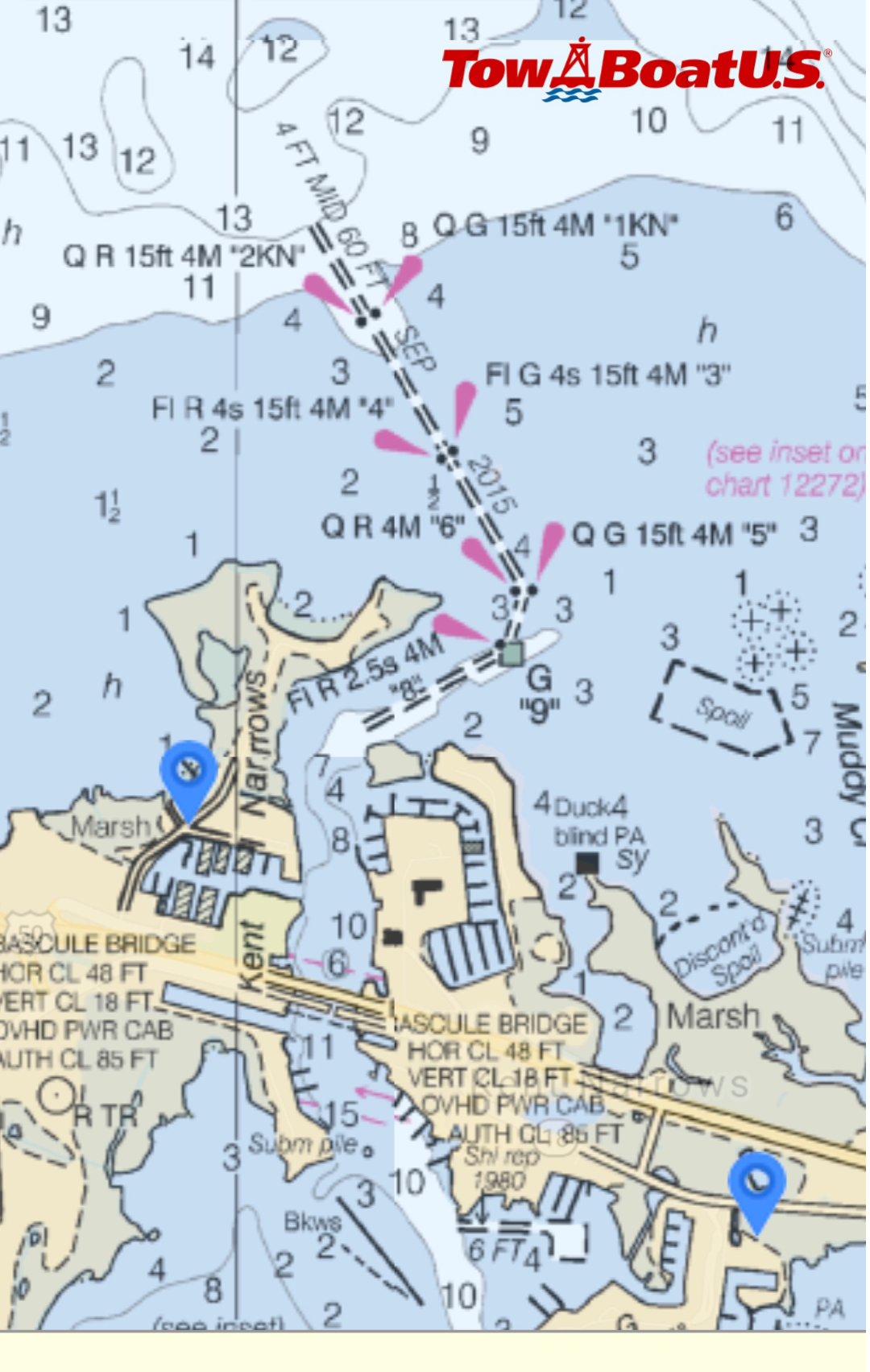
Today (5/11/21) we spoke with the USCG regarding the submerged objects on the north channel of the Kent Narrows. On May 4th, the Army Corp of Engineers surveyed the channel and at that time they were unable to find any submerged objects. They did find a shoal (details below) and temporary aids to navigation will be placed later this week to navigate boaters around the shoal. Please feel free to reach out to us if you have further questions. (410) 745-3000
Broadcast Notice to Mariners: SAFETY / MD-CHESAPEAKE BAY-CHESTER RIVER-KENT ISLAND NARROWS NORTH APPROACH (CHART 12272)-SHOALING / ATON / SEC MD-NCR BNM 065-21 / Fri, 07 May 2021 19:56:46 -0500 1. HAZARD TO NAVIGATION – A USACE SURVEY CONDUCTED ON 05/04/2021 HAS IDENTIFIED SHOALING TO A DEPTH OF FOUR FEET IN THE KENT ISLAND NARROWS NORTH APPROACH WITHIN THE CHANNEL BOUNDARIES BETWEEN KENT ISLAND NARROWS NORTH APPROACH LIGHT 2KN (LLNR 26415) AND KENT ISLAND NARROWS NORTH APPROACH LIGHT 8 (LLNR 26435). Source: www.navcen.uscg.gov Comments are closed.
|
Archives
February 2024
Categories |


 RSS Feed